Diskusi KASES 4/2019 : GIS for Sustainable Development Goals by Gs. Dr. Nuriah Abd. Majid
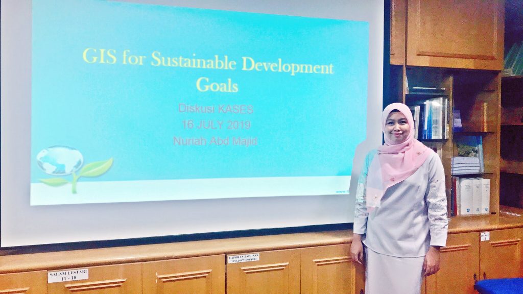
Date: 16 Julai 2019
Venue: LESTARI’s Meeting Room 1
Time: 2.30pm
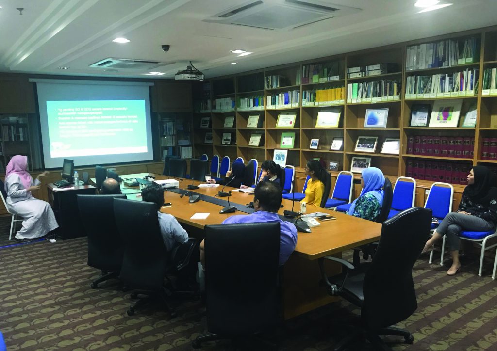
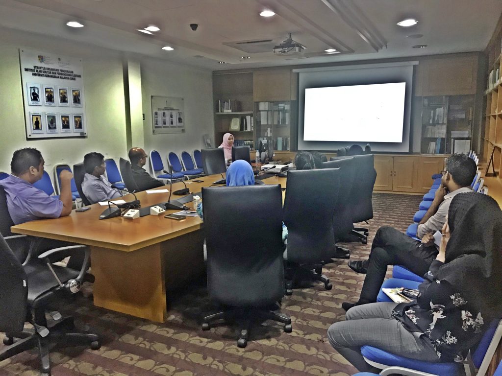
GIS is enabling people across many organizations and geographies to create useful data that contributes to the SDG framework and ultimately helps to accomplish the 2030 agenda. The information can help Informing stakeholders with all relevant and available information about the geography, landscape, or context of the question at hand. Therefor to establishing a common understanding through data analysis and modeling that supports planning and decision-making processes. In other hands, collaborating through stakeholder engagement that leads people and organizations to informed, effective action and monitoring. GIS is the framework and process to use sustainable development data to inform better development planning and investments, and ultimately realize the 2030 Agenda.
Report by Ku Adriani Ku Ayob.